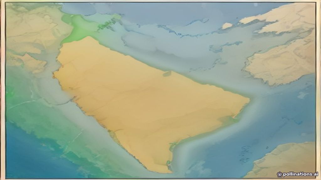
Ever wondered why India feels so big yet fits on a single map page?
💡 In Simple Words: India sits in South Asia between the Himalayas and the Indian Ocean. It covers about 3.28 million square kilometres, stretching roughly 3,200 km east‑to‑west and 1,500 km north‑to‑south. Its landforms range from snow‑capped peaks to sandy deserts.
Where is India Located?
India’s position on the globe is defined by its latitude and longitude. The country stretches from about 8° N (near the southern tip of the Andaman Islands) to 37° N (the northernmost point of Jammu & Kashmir). Longitudinally, it runs from roughly 68° E to 97° E.
Think of latitude as the rungs of a ladder that go around the Earth, and longitude as the spokes of a wheel. India sits on the middle rungs, which is why most of it enjoys a warm climate.
India shares its borders with six countries: Pakistan to the west, China, Nepal, and Bhutan to the north, and Bangladesh and Myanmar to the east. To the south, the Indian Ocean laps against its coastline, with the Arabian Sea on the west side and the Bay of Bengal on the east.
How Big Is India? (Extent)
The word “extent” here means the total area and the distances from one end to the other. India’s total land area is about 3.28 million km² – that’s roughly the size of the United States minus Alaska.
If you drove from the westernmost point at Gujarat’s Kutch region to the easternmost tip at Arunachal Pradesh, you’d travel close to 3,200 km – about the distance from New York to Los Angeles and back.
North‑to‑south, the span from the Himalayan foothills to Kanyakumari (the southern tip) is around 1,500 km, similar to the length of Italy from north to south.
Physical Features of India
India’s landscape can be split into six major physical divisions. Each one has its own personality, just like different rooms in a house.
- Himalayan Mountains – The towering “roof” of the country, home to the world’s highest peaks.
- Indo‑Gangetic Plains – A flat, fertile “living room” where most people live and farm.
- Peninsular Plateau (Deccan) – The “upper floor” of old volcanic rock, dotted with hills.
- Coastal Plains – The “basement” hugging the sea, narrow in the west and wide in the east.
- Thar Desert – The “attic” of sand in the northwest, hot and dry.
- Islands – The “garden” of islands like the Andamans and Lakshadweep.
Quick Comparison Table
| Feature | Location | Highest Point | Notable Example |
|---|---|---|---|
| Himalayan Mountains | North‑India | Mount Everest (8,848 m) – on the border with Nepal | Kashmir’s Pir Panjal range |
| Indo‑Gangetic Plains | Between Himalayas & Deccan | None – very flat | Ganges River basin |
| Deccan Plateau | South‑central India | Mahabaleshwar (1,439 m) | Western Ghats |
| Coastal Plains | Along Arabian Sea & Bay of Bengal | None | Karnataka’s Konkan coast |
| Thar Desert | Northwest, Rajasthan | None | Jaisalmer’s sand dunes |
| Islands | Bay of Bengal & Arabian Sea | Mount Kojan (Andaman) 915 m | Andaman & Nicobar Islands |
Why does this matter for exams? Each region influences climate, agriculture, and even the culture of the people who live there. For instance, the monsoon rains hit the Indo‑Gangetic Plains first, filling the Ganges and supporting rice farms.
Key Physical Features at a Glance
- Himalayas: Young, folded mountains; source of major rivers.
- Plains: Alluvial soil (soil deposited by rivers) – very fertile.
- Plateau: Older, eroded rocks; rich in minerals like iron and bauxite.
- Coasts: Mangroves in the south, coral reefs around islands.
- Desert: Sparse vegetation, extreme temperature swings.
📝 Likely Exam Questions
- State the latitude and longitude limits of India.
Answer: Between 8° N and 37° N latitude; between 68° E and 97° E longitude. - What is the total area of India and how does it compare with another country?
Answer: About 3.28 million km², roughly the size of the United States (excluding Alaska) or about 1.2 times the area of China’s mainland. - List the six major physical divisions of India and give one example for each.
Answer: Himalayas (e.g., Pir Panjal), Indo‑Gangetic Plains (Ganges basin), Deccan Plateau (Western Ghats), Coastal Plains (Konkan coast), Thar Desert (Jaisalmer dunes), Islands (Andaman & Nicobar). - Explain how the location of India influences its climate.
Answer: Being between 8° N and 37° N places India in the tropical to subtropical zone, so it receives strong solar heating. The Himalayas block cold winds from the north, while the surrounding oceans bring moisture, creating a monsoon climate. - Why are the Indo‑Gangetic Plains considered the “breadbasket” of India?
Answer: The plains have deep alluvial soil deposited by rivers like the Ganges and Brahmaputra, making them highly fertile for crops such as rice, wheat, and sugarcane.