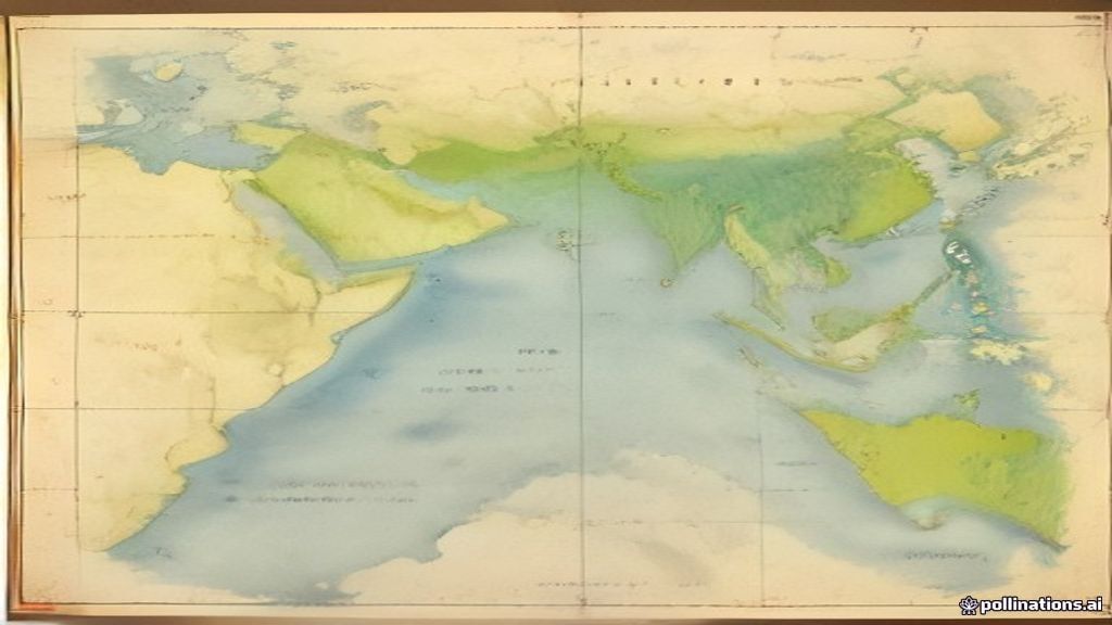
Ever wondered why India stretches from snowy peaks to sun‑kissed beaches? Knowing its exact spot on the globe helps you picture every climate zone and landscape.
💡 In Simple Words: India sits in South Asia, between the Tropic of Cancer and the Himalayas. It covers about 3.3 million square kilometres, sharing borders with seven countries and boasting four major physical regions.
Where is India on the World Map?
Geographers use two invisible lines to pin any place down:
- Latitude – lines that run east‑west, parallel to the equator (the imaginary line that splits Earth into north and south halves). Think of latitude like the rungs on a ladder that tell you how high you are above the equator.
- Longitude – lines that run north‑south, meeting at the poles. Imagine longitude as the slices of an orange; each slice tells you how far east or west you are from the Prime Meridian.
India’s latitudinal span runs from 8°4′ North (the tip of the Andaman Islands) up to 37°6′ North (the northernmost point of the Kashmir region). Its longitudinal spread stretches from 68°7′ East (the western border in Gujarat) to 97°25′ East (the far‑eastern tip of Arunachal Pradesh). This gives India a tropical to temperate climate range.
Quick Facts at a Glance
| Aspect | Detail |
|---|---|
| Latitude | 8°4′ N to 37°6′ N |
| Longitude | 68°7′ E to 97°25′ E |
| Area | ≈ 3.287 million km² |
| Neighbouring Countries | Pakistan, China, Nepal, Bhutan, Bangladesh, Myanmar, Afghanistan (via a narrow corridor) |
| Coastline | ~7,517 km (Arabian Sea, Indian Ocean, Bay of Bengal) |
Neighbors and Borders – Who Shares a Fence with India?
India’s 15,200 km of land borders are divided among seven countries. Knowing who sits next to India helps you understand trade routes, cultural links, and even weather patterns.
- Pakistan – to the west, sharing the Thar Desert and the rugged Khyber Pass.
- China – to the north‑east, along the Himalayan and Karakoram ranges.
- Nepal – sandwiched between India and China, famous for the Himalayas.
- Bhutan – a small, hilly kingdom nestled in the eastern Himalayas.
- Bangladesh – to the east, with the Ganges‑Brahmaputra delta forming a natural boundary.
- Myanmar – south‑east, opening to the Bay of Bengal.
- Afghanistan – only a tiny 106‑km stretch via the disputed Wagah corridor in the north‑west.
Physical Features that Shape India
India isn’t a flat sheet of land. It’s a patchwork of mountains, plateaus, plains, and islands. Let’s break them down.
The Himalayan Belt
The Himalayas are the world’s youngest and highest mountain range, formed when the Indian tectonic plate slammed into the Eurasian plate. This collision lifted the crust, creating peaks like Kanchenjunga (8,586 m). The range acts like a massive wall, blocking cold winds from Central Asia and giving the sub‑tropical climate to most of the country.
The Peninsular Plateau
South of the Himalayas lies the Deccan Plateau, a huge, elevated area of ancient volcanic rock. It slopes gently from the western ghats (steep coastal mountains) toward the east. The plateau is rich in minerals – think iron ore in Odisha and bauxite in Gujarat.
Coastal Plains
Flanking the plateau are two narrow strips of land:
- Western Coastal Plains – bounded by the Arabian Sea, known for the Konkan and Malabar coasts.
- Eastern Coastal Plains – touching the Bay of Bengal, home to the fertile deltas of the Ganges, Brahmaputra, and Godavari.
These plains are the breadbaskets of India, supporting rice, wheat, and cotton.
Island Groups
India’s maritime territory includes the Andaman‑Nicobar archipelago in the Bay of Bengal and the Lakshadweep islands in the Arabian Sea. They add to the country’s biodiversity and strategic importance.
Summary of Physical Regions
- Himalayan Mountains – highest, cold, source of major rivers.
- Indo‑Gangetic Plains – flat, fertile, dense population.
- Peninsular Plateau – old rocks, mineral wealth, moderate climate.
- Coastal Plains – narrow, rich soils, major ports.
- Islands – tropical, coral reefs, tourism hotspots.
📝 Likely Exam Questions
Here are some questions you might see in the ICSE Class 10 Geography paper, plus a quick model answer.
- State the latitudinal and longitudinal extremes of India.
Answer: Latitude 8°4′ N to 37°6′ N; Longitude 68°7′ E to 97°25′ E. - List the countries that share a land border with India.
Answer: Pakistan, China, Nepal, Bhutan, Bangladesh, Myanmar, and Afghanistan. - Explain why the Himalayas influence India’s climate.
Answer: The Himalayas act as a barrier that blocks cold Central Asian winds, keeping most of India warm, and they force moist monsoon winds to rise, causing heavy rainfall on the southern slopes. - Describe two major physical features of the Peninsular Plateau.
Answer: (i) It consists of ancient volcanic basalt rock, giving it rich mineral deposits. (ii) It slopes gently eastward, creating a network of rivers that flow into the Bay of Bengal. - Why are the Indo‑Gangetic Plains considered the ‘breadbasket’ of India?
Answer: The plains have deep alluvial soils deposited by the Ganges and its tributaries, making them highly fertile for crops like rice, wheat, and sugarcane, supporting a large portion of the population.