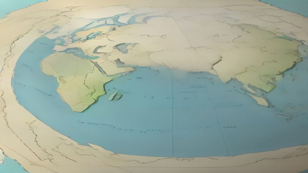
Why Knowing India's Spot on the Globe Matters
Ever wondered why the monsoon blows from the ocean onto the Indian plains? It all starts with where India sits on the Earth’s surface.
💡 In Simple Words: India lies in South Asia, stretching from the icy peaks of the Himalayas in the north to the tropical islands of the south. Its size and shape give it a huge variety of landforms, from deserts to rain‑forests.
Where is India Located?
When we talk about a country's location, we mean its position using two invisible lines: latitude and longitude. Latitude tells us how far north or south a place is from the equator (the Earth’s middle belt). Longitude tells us how far east or west it is from the Prime Meridian (the line that runs through Greenwich, England).
India sits between 8°4' N (the southern tip of the Andaman Islands) and 37°6' N (the northernmost point of the Himalayas). Its east‑west spread runs from 68°7' E (the western border of Gujarat) to 97°25' E (the far‑east tip of Arunachal Pradesh). In plain language, think of latitude as the “up‑down” ruler and longitude as the “left‑right” ruler on a world map.
Neighbouring Countries – The Neighbors Around the Table
India shares land borders with seven countries. Imagine a round table where India sits in the middle and its neighbours are the chairs around it:
- Pakistan – to the west
- China – to the north‑east
- Nepal – north‑west
- Bhutan – north‑east
- Bangladesh – east
- Myanmar – far east
- Afghanistan – a tiny stretch in the north‑west (via the Wakhan Corridor)
What is the Extent of India?
The word extent simply means how far a country stretches. For India, we measure this in two ways: the distance from north to south and from east to west.
North‑South Extent: About 3,214 km – roughly the distance from New York to Los Angeles.
East‑West Extent: About 2,933 km – similar to the span from London to Moscow.
India’s total area is approximately 3.287 million square kilometres. That’s like fitting about 500,000 football fields side by side!
Quick Reference Table
| Parameter | Value |
|---|---|
| Latitude Range | 8°4' N – 37°6' N |
| Longitude Range | 68°7' E – 97°25' E |
| North‑South Extent | ~3,214 km |
| East‑West Extent | ~2,933 km |
| Total Area | 3.287 million km² |
Physical Features of India – A Land of Contrasts
Because India stretches so far, its physical features are incredibly diverse. Let’s break them down into four major zones:
1. The Northern Mountains
The Himalayas dominate the north. These are the world’s youngest and highest mountain range, formed when the Indian Plate slammed into the Eurasian Plate – like two cars crashing and the front ends crumpling upwards.
- Key peaks: Kangchenjunga (8,586 m), Nanda Devi (7,816 m)
- Important passes: Nathu La, Zoji La – natural gateways for trade and travel
2. The Indo‑Gangetic Plains
South of the Himalayas lies a flat, fertile belt formed by three great rivers: the Indus, Ganga, and Brahmaputra. Think of this plain as a giant kitchen countertop where the rivers pour in, spreading nutrients like a gravy over a pizza.
- Supports about 40% of India’s population
- Rich soils called alluvial (deposits left by rivers)
3. The Peninsular Plateau
Moving further south, the land rises into the Deccan Plateau – an old, stable block of rock that’s been worn down over millions of years. It’s peppered with volcanic basalt (dark, hard rock) from ancient lava flows.
- Major rivers: Godavari, Krishna, Kaveri
- Features: the Eastern and Western Ghats – mountain ranges that run along the coasts like protective walls
4. The Coastal and Island Regions
India’s coastline stretches about 7,516 km, wrapping around the peninsula. The western side faces the Arabian Sea, the eastern side the Bay of Bengal. The Andaman & Nicobar Islands sit far out in the Bay of Bengal, while the Lakshadweep islands sit in the Arabian Sea.
- Coastal plains are low‑lying and prone to cyclones – think of them as the Earth’s breathing zones, where warm air rises and storms form.
- Island ecosystems host unique plants and animals, much like a backyard garden with rare flowers.
Summary of Key Physical Features
- Himalayan Mountains: Young, high, cold, source of major rivers.
- Indo‑Gangetic Plains: Flat, fertile, densely populated.
- Peninsular Plateau (Deccan): Old, volcanic basalt, rich mineral resources.
- Coastal Plains & Islands: Long coastline, tropical climate, biodiversity hotspots.
How Location and Extent Shape India’s Climate
Because India stretches from near the Tropic of Cancer to the Himalayan foothills, it experiences a range of climates:
- Alpine climate in the high Himalayas – cold year‑round, like a freezer.
- Sub‑tropical climate in the plains – hot summers, cool winters, ideal for growing wheat.
- Tropical climate in the south and islands – warm and humid, perfect for coconut palms.
This variety explains why India can grow everything from apples in Kashmir to mangoes in Kerala.
📝 Likely Exam Questions
- State the latitudinal and longitudinal extremes of India.
Answer: Latitude 8°4' N to 37°6' N; Longitude 68°7' E to 97°25' E. - Explain how the extent of India influences its climate.
Answer: The north‑south spread covers tropical to alpine zones, creating diverse climates; the east‑west spread brings variations in rainfall due to monsoon patterns. - List the four major physical regions of India and give one characteristic of each.
Answer: (i) Himalayas – highest mountains, (ii) Indo‑Gangetic Plains – fertile alluvial soils, (iii) Peninsular Plateau – old volcanic basalt, (iv) Coastal Plains & Islands – long coastline with tropical climate. - Why are the Indo‑Gangetic plains so densely populated?
Answer: The plains have rich alluvial soils, abundant water from major rivers, and a flat terrain that supports agriculture and infrastructure. - Identify three countries that share a land border with India and mention the direction of each border.
Answer: Pakistan (west), Nepal (north‑west), Bangladesh (east).